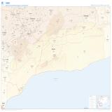
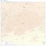
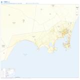
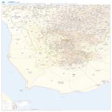
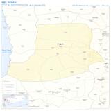
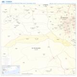
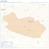
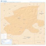
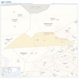
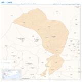
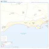
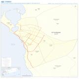
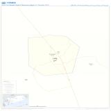
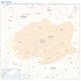
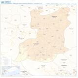
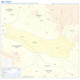
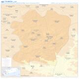
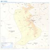
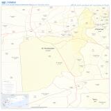
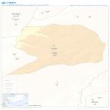
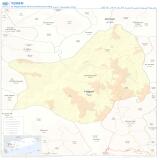
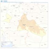
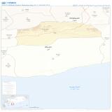
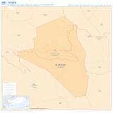
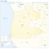
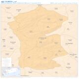
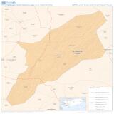
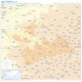
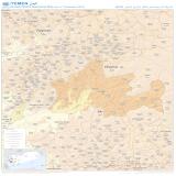
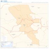
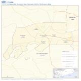
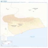
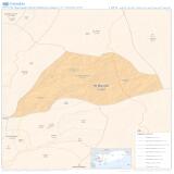
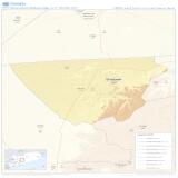
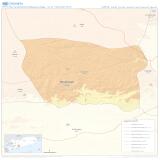
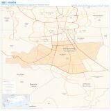
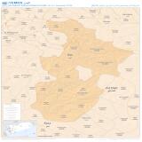
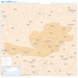
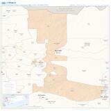
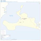
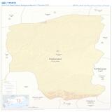
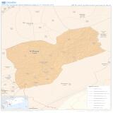
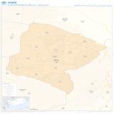
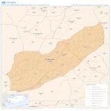
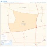
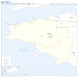
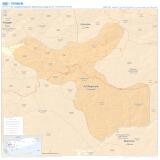
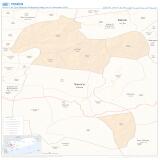
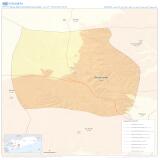
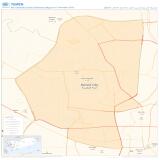
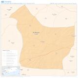
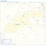
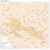
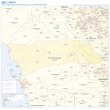
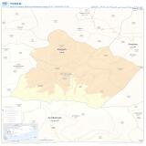
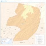
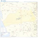
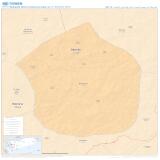
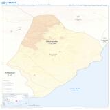
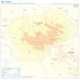
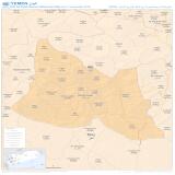
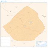
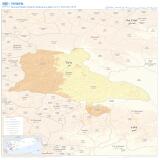
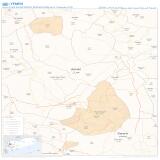
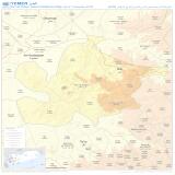
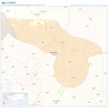
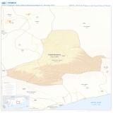
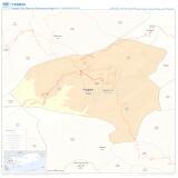
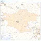
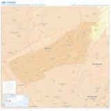
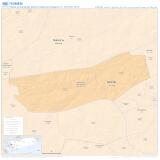
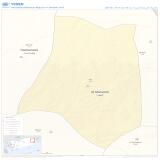
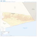
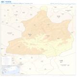
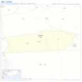
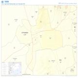
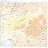
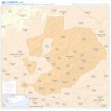
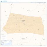
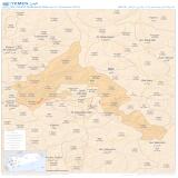
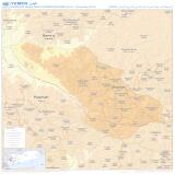
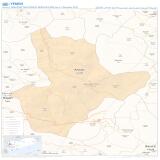
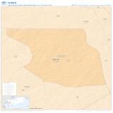
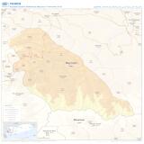
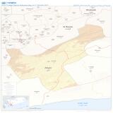
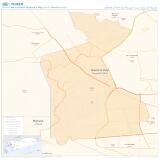
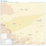
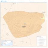
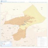
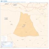
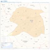
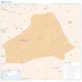
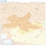
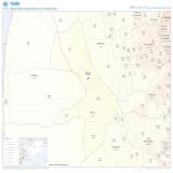
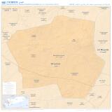
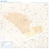
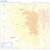
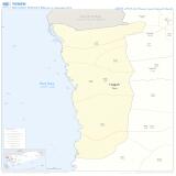
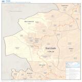
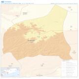
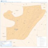
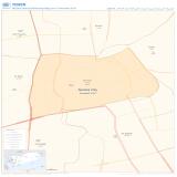
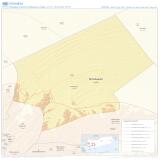
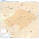
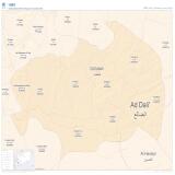
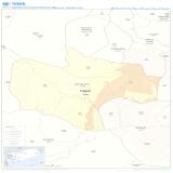
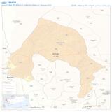
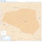
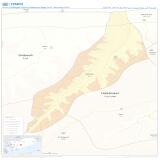
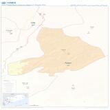
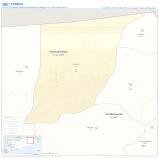
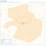
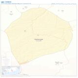
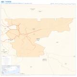
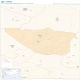
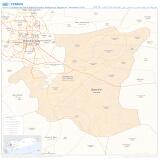
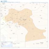
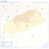
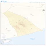
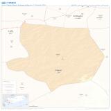
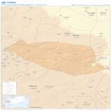
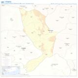
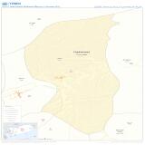
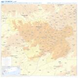
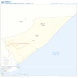
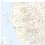
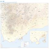
Maps are at the third administrative level (subdistrict), i.e. admin3, featuring administrative boundaries, elevation and transportation.
Each administrative division has a standard unique code (pcode) essential for data sharing across organizations and sectors.
Maps are available in both English and Arabic to facilitate and support cooperation amongst Arabic-speaking humanitarian partners.
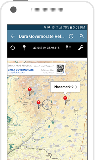
Maps are available in an electronic format which can be used offline on smart mobile devices that can be used in the field for navigation and data collection.
View your location on a map using the built-in GPS device (requires iPhone and iPad Wi-Fi + Cellular or compatible Android device)
Plot placemarks, change pin colors, position and label names, enter attribute data and notes
Measure distances and areas - save measurements to line data with the ability to import and export lines (as KML)
Easily find the coordinates of any location in the map; including the ability to type in a coordinate to search